Tuesday 5 April 2011

Through Different Eyes


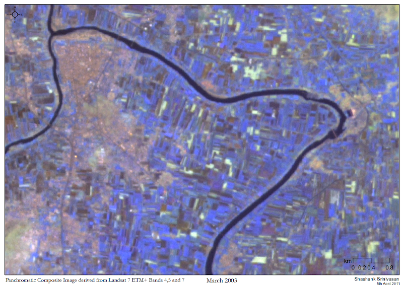
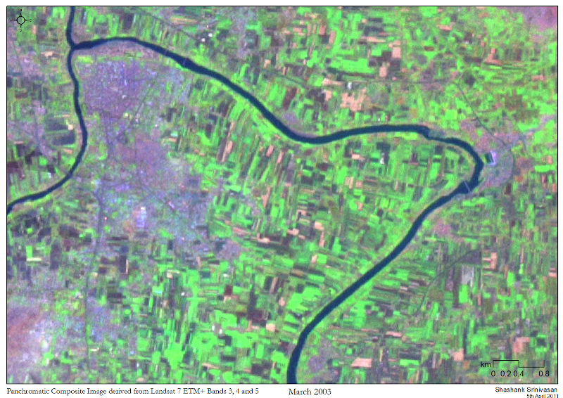
I'm currently working on a project that involves unsupervised classification of Landsat data to highlight barren areas, farms, water bodies and forested areas in Maharashtra, India. I'm using pan-sharpened false-colour composites from the same dataset to help with the ground-truthing; one's been made from bands 3, 4 and 5, while the other's been made from bands 4,5 and 7. They're quite pretty to look at, and it's fun using a slider tool to see how different the surface looks, if only we had different eyes.


In other news, I've finally sorted part of my website out. Big thank you to Rahul (@gonsalves_r), who has been eternally patient with all the tech-support I go on seeking from him. The site's at www.shashanksrinivasan.com and as of next week all visitors to this blog will automatically be diverted there.

Friday 1 April 2011

The Asia-to-Gaza Caravan


This map was made for the India Lifeline to Gaza, a caravan from India that left for Gaza via a bunch of countries en route. I was asked to make this map for the participants before they left, but a series of communication failures resulted in this becoming a for-charity project; I can't really complain, as I had a great time learning the names of the towns in Iran, especially Isfahan. Reading Lolita in Tehran around the same time just enhanced the desire; while it's a good book on its own, the brief descriptions of the view of the snow-clad Elburz mountains from Tehran were quite appealing.

This was one of the first maps I made, and was created using Google Earth, ArcGIS 10 and InDesign. Making this map made me realise that I liked making maps, I wanted to get better at it and I really needed to learn how to use Illustrator.